Bug
www.dzikierzeki-kajaki.pl, kozirad@wp.pl, (+48) 505-666-424
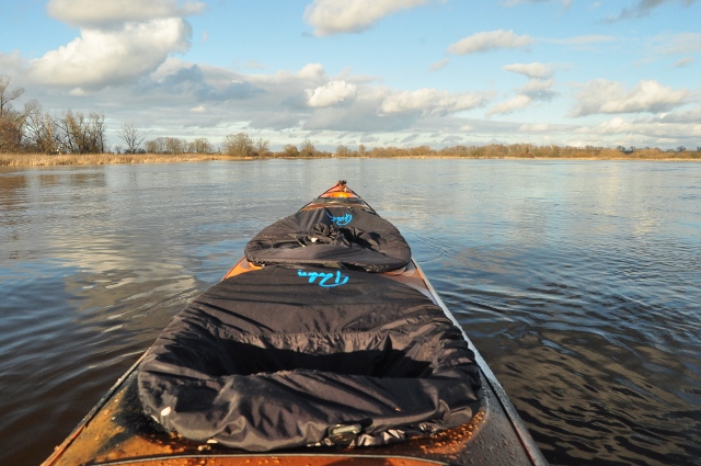
We organize trips on this river over a total length of over 400 kilometers, of which approximately 200 kilometers of the border Bug (Wola Uhruska-Gnojno), excluding the district in Terespol, and approximately 210 kilometers of the Bug flowing within Poland (Gnojno-Cupel) up to the mouth to Narew.
On the border section, despite the attractive beaches on both sides of the river, rest breaks and meals should always be taken on the western/left bank of the river. Going out to the eastern bank may result in arrest for illegally crossing the border and staying for some time with our neighbors (in the section bordering Ukraine and Belarus). Each trip must be reported to the appropriate units of our border guard (as a rental company, we handle the reports).
The main difficulties are tree branches sticking out of the water and shallow water, through which you sometimes have to push the kayak.
In the lower section, from Kuligów to the mouth of the Narew River, there are motorboats that cause waves.
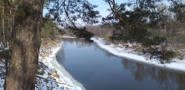
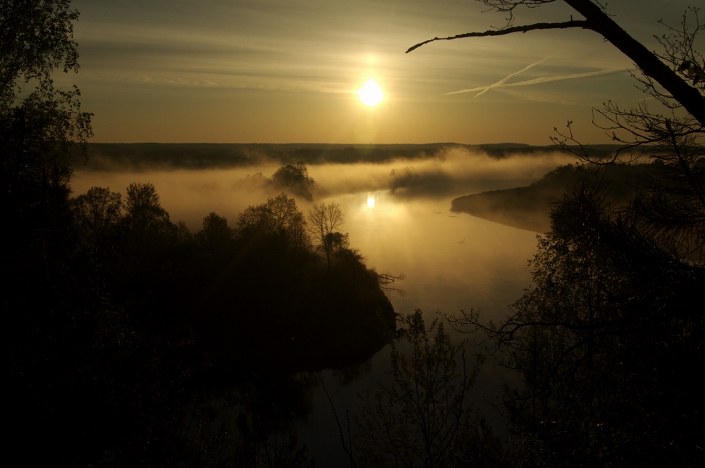
The main advantage of this river is its wildness, naturalness and its character changing over the kilometers. However, apart from the undeniable beauty of nature that we can observe at our fingertips, there are many other attractions worth seeing along the rafting route.
- monastery of St. Onufry in Jabłeczna
- remains of a pre-war wooden crossing over the Bug near Jableczna (wooden piles driven into the river)
More information about this section of the river at the following links:
Bug graniczny. Białoruskie pogranicze. Włodawa-Sławatycze.
Bug graniczny, spływ kajakowy 2019. Opis szlaku ze Sławatycz do Sugry (koło Kodnia).
Bug graniczny. Jabłeczna-Michalków, 45 kilometrów dzikiej przyrody.
- viewing point from a high escarpment behind the town of Gnojno
- iron railway bridge Fronołów (more information at the link: Most kolejowy we Fronołowie.
-Kózki reserve near Sarnaki
- church and monastery complex in Drohiczyn. More information in the article at the link:
Drohiczyn. Od wzlotu po upadek. Zawiłości historii miasta.
- a high escarpment near Tonkiele, a place where scenes for the movie "Nad Niemnem" were filmed
- remains of the Napoleonic crossing in Granne (a stone spur extending into the river)
More information at the link:
Most Wielkiej Armii Napoleońskiej w Grannem. Fakty i mity.
-the wreck of a steamship exposed at low water level below Brok.
More information at the link:
More about nature in the Bug valley and the animals I observe and photograph at the links below:
Dzikie rzeki. Co nad rzeką piszczy?
Gęgawa. Rozlewiska, rzeka Bug.
Czapla biała. Wiosenne rozlewiska, rzeka Bug.
Czajka na rozlewiskach środkowego Bugu.
Łabędź niemy, rzeka Bug z dzikierzeki-kajaki.pl.
Tracz nurogęś i jego zwyczaje.
Rybitwa białoczelna. Mały wojownik.
Rybitwa rzeczna, mieszkaniec nadbużańskiej doliny. .
Czapla siwa, szara eminencja naszych wód.
Brodziec piskliwy, niepozorna rzeczna siewka.
Twardziel z doliny Bugu, czyli piskliwiec inwalida.
Dolina środkowego Bugu. Poranki.
Spływ kajakowy rzekami Nurzec-Bug.
We organize rafting trips on the Bug River with a total length of over 400 km. Therefore, there are many places where it is convenient to start your adventure.
-Włodawa - you can leave your car either in free, public parking lots in the city, or on the river itself at the launching point (51°33'5.06"N, 23°33'58.18"E).
-Różanka - a large clearing where you can park cars (51°36'51.38"N, 23°32'28.91"E).-Sławatycze - you can leave your car in the parking lot in the town about 500 m from the river or by the river itself (51°45'42.73"N, 23°33'30.77"E).
-Jabłeczna-parking lot under the monastery (51°48'21.80"N, 23°37'57.66"E). To walk about 400 meters to the river bank along a road through meadows.
-Sugry - a high sandy escarpment, which can be reached by a forest road. There is room for cars (51°52'37.34"N, 23°36'25.96"E).
-Kodeń - the starting/ending place of the trip is approximately 500 meters north of the town (51°55'30.33"N, 23°37'5.16"E). Depending on weather conditions, the road may be temporarily impassable. It is better to leave your car in Kodeń at one of the parking lots, e.g. (51°54'58.97"N, 23°36'28.19"E), about 1,500 meters from the meeting point.
-Neple - you can park next to the church in the town or in the meadow by the bridge at the kayak launching point (52° 7'30.46"N, 23°31'14.77"E).
-Pratulin - parking space on the outskirts of the village at the launching point (52°10'19.55"N, 23°25'54.61"E).
-Gnojno - large parking lot at the ferry crossing (52°16'49.92"N, 23°10'0.21"E).
-Serpelice-parking in the town next to the church or on the road to the beach (52°16'51.57"N, 23° 3'4.95"E).
-Zabure - parking space at the ferry check-in (52°19'4.54"N, 23°2'55.50"E).
-Fronołów - access from Siemiatycze by dirt road along the tracks to the railway bridge (52°22'23.88"N, 22°56'9.82"E).
-Kózki - parking lot by the road bridge near the Kózki reserve (52°21'40.29"N, 22°52'9.88"E).
-Drohiczyn - parking lot in the center near the Monastery Complex (52°23'45.13", 22°39'27.28"E), about 500 meters from the start/end of the trip (52°23'36.06"N, 22°39'36.89" E).
-Granne. Parking near the church or driving about 300 meters on a dirt road and stopping right by the river (52°32'17.46"N, 22°30'21.69"E).
-Nur-you can park in the center. The start/end point of the trip is located next to the road bridge, approximately 1,500 meters from the center (52°40'11.62"N, 22°17'41.09"E). On the bridge (coming from Nura), a large bay with parking on the right (52°40'12.74"N, 22°17'41.54"E).
-Gąsiorowo - parking spaces by the river (52°42'9.76"N, 22° 9'19.18"E).
-Małkinia - possibility of parking at the road bridge right next to the river (52°40'26.11"N, 22° 1'12.47"E).
-Morzyczyn - gravel access to the embankment from Morzyczyn. Possibility to leave cars near/behind the embankment (52°41'2.54"N, 21°54'58.54"E).
-Brok-cars can be left in the city center or right on the beach (52°41'49.30"N, 21°51'26.83"E).
-Brańszczyk - parking space right next to the river in the town (52°37'24.65"N, 21°35'1.88"E).
-Kamieńczyk - parking space at the ferry check-in on the northern bank from Brańszczyk (52°36'21.42"N, 21°33'2.09"E).
-Wyszków - cars can be left in the city center at one of the public parking lots or at the beach by the river (52°35'24.31"N, 21°27'34.89"E).
-Sleigh ride - parking space at one of the branches, right on the river (52°30'55.84"N, 21°10'50.34"E).
The other points can also be reached by car. However, access by car may be difficult in poor weather conditions (ruts, deep puddles). In some places it is difficult to find a parking space.


